Inspections
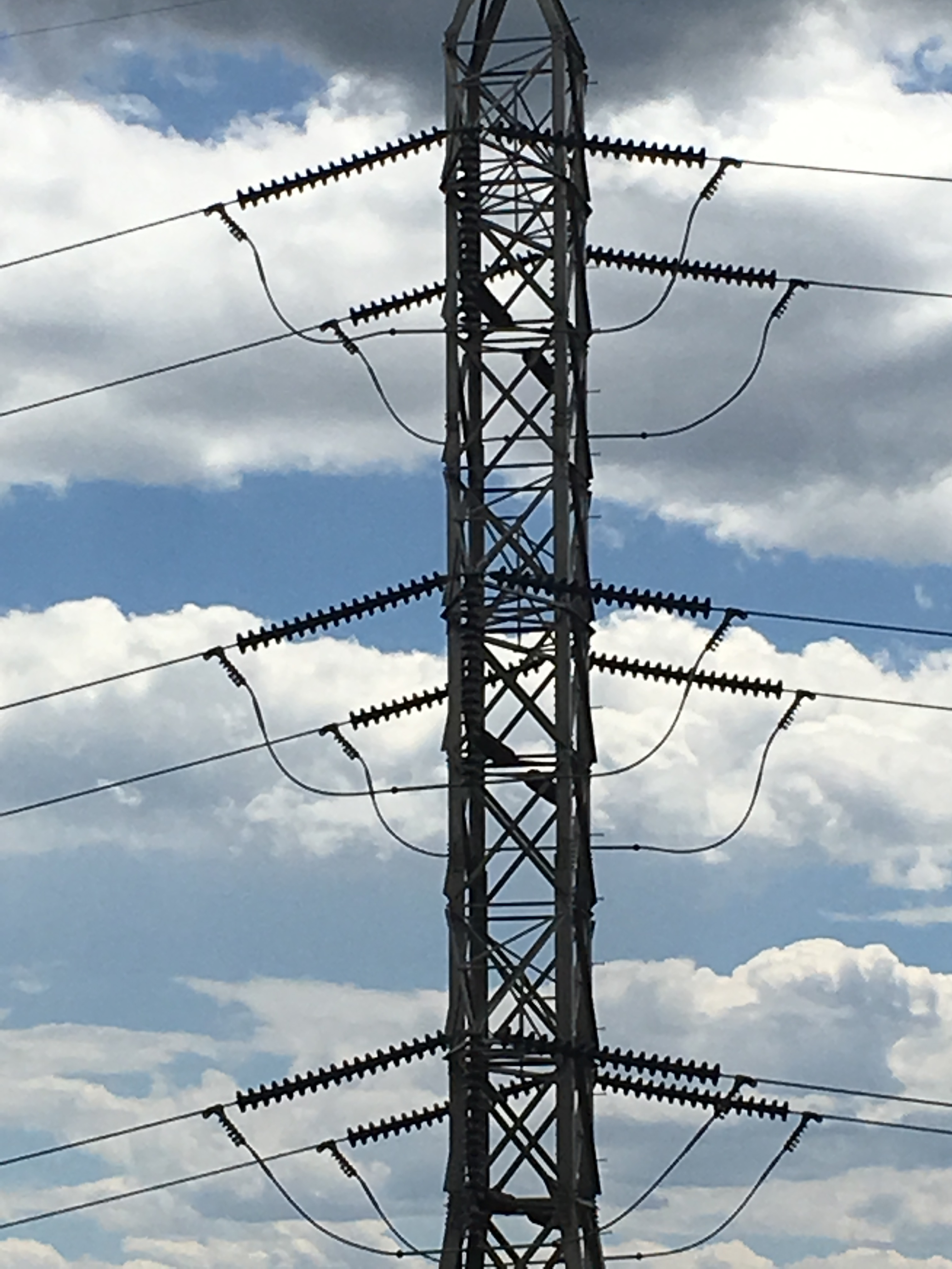
Critical infrastructure is one of the most important part of our lives as it brings electrical, communications, and transportation services to urban and rural areas. Our ability to get to the most remote infrastructure and provide the needed data can be an asset to any organization

Agriculture
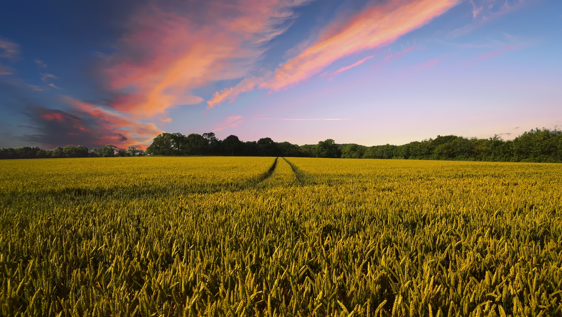
Aerial data for 3D measurements of plants
Determine hot spots for watering and fertilizer
Lower Cost while Increase Yield
Build Historical Data or Real Time Usage

Construction
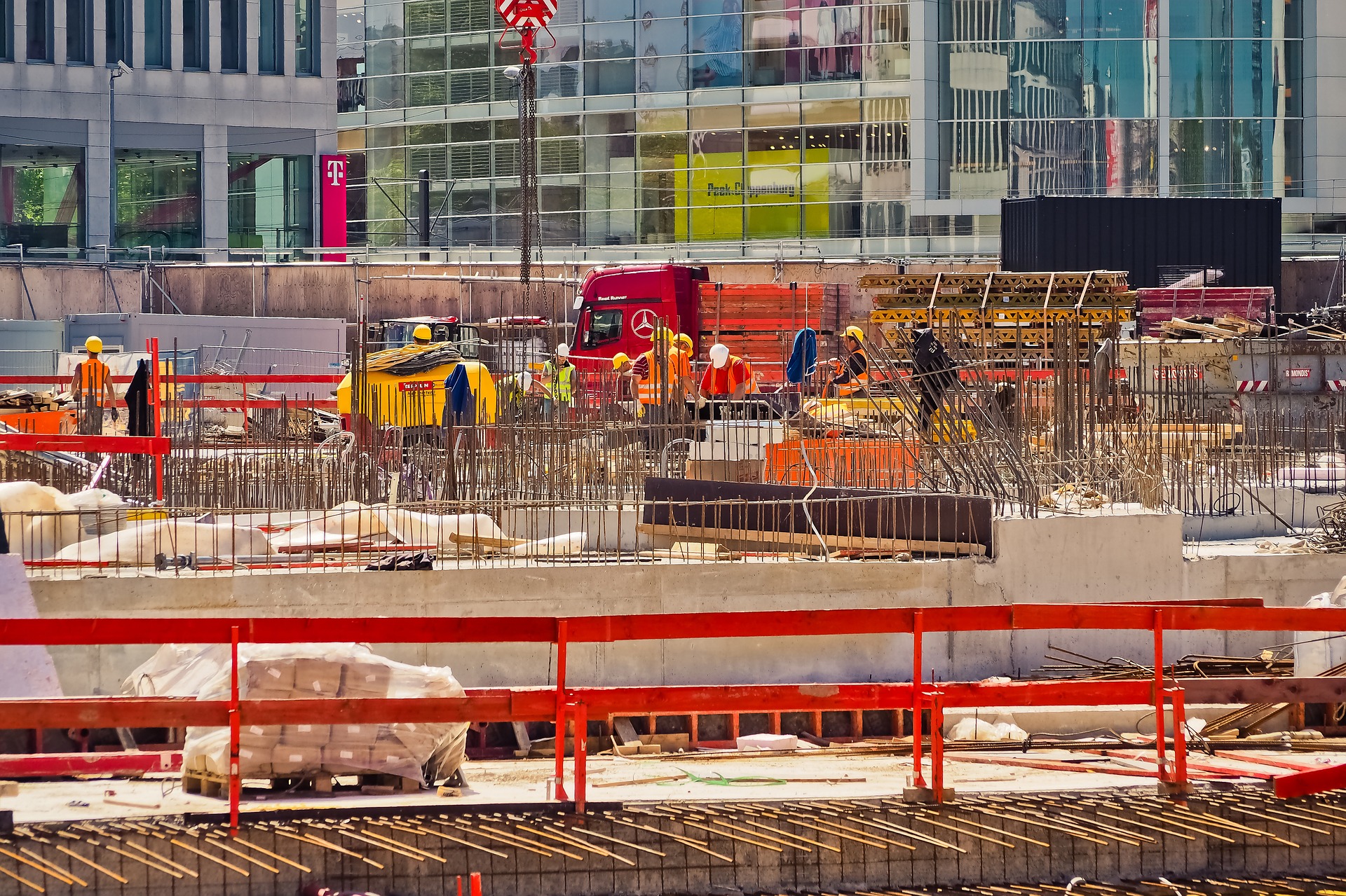
Aerial Site Intellegence
Project Progress - Visual timeline from start to finish
Adapted to all phases of lifecycle - demolition to operation
Cost saving over other aerial and ground techniques
Ability to provide more detailed information with advances in technology